Malyovitsa Hike: Peak, Hut and Getting There from Sofia
Malyovitsa hike in Rila: getting there from Sofia via Samokov, the hut, the summit route via Elenino lake, timings, season, snow and rescue numbers.
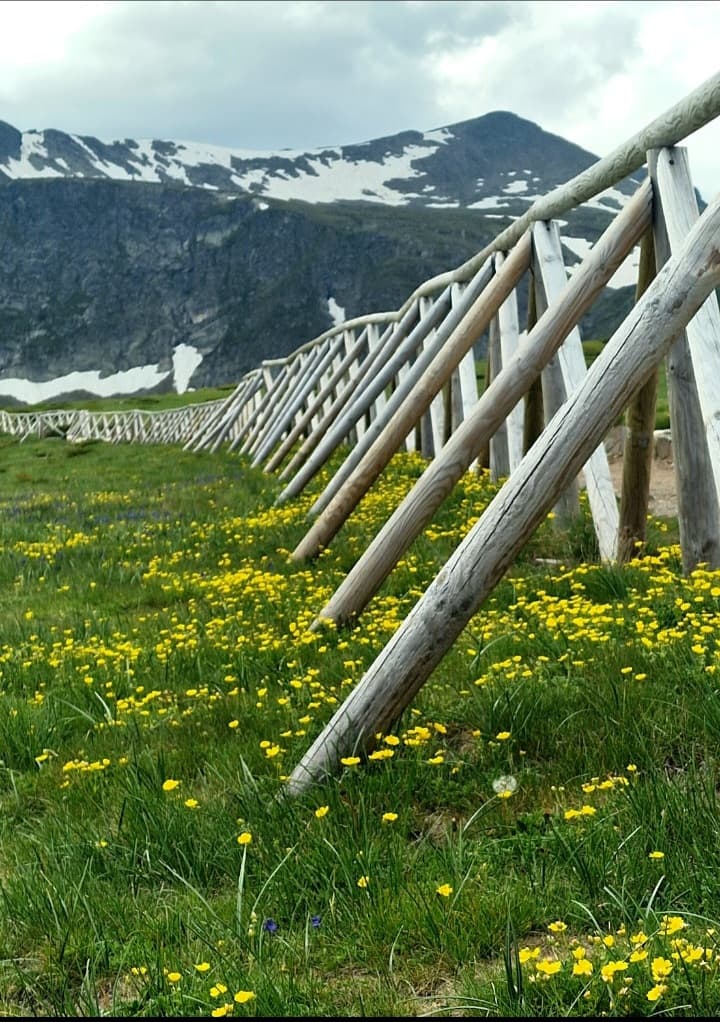

The Malyovitsa hike takes you to a 2,729 m summit in the northwest of the Rila Mountains, about 84 km from Sofia. The name also covers the whole area: the valley, the hut and the small mountain base at the end of the road. From Sofia you drive a little over an hour and a half via Samokov and the village of Govedartsi to Mecha Polyana, at roughly 1,700 m, where the asphalt ends. From there it is about an hour on foot to Malyovitsa hut, then another two and a half to three hours via Elenino lake to the top: about 6.6 km each way, roughly 1,040 m of ascent and 5 to 7 hours of walking for the round trip. It is not technical, but it is long and steep, and it suits fit hikers in the snow free summer months. If you want an easier day, stop at the hut, one hour from the car park.
In this guide10 sections
All prices are in euro: Bulgaria adopted the euro on 1 January 2026. Our tour and transfer prices were read from our booking system on 28 October 2026, and the price shown when you book is the one that counts. The hut details, the national park rules and the rescue numbers were checked on official sites on the same day. One thing to know up front: we do not run a guided Malyovitsa trip, so this guide is for independent hikers, and the guided options we do have in Rila are at the end.
Malyovitsa peak at a glance
| Fact | Detail |
|---|---|
| Summit height | 2,729 m |
| Trailhead | Mecha Polyana, about 1,700 m, next to the Bulgarian Tourist Union's training centre and Hotel Malyovitsa |
| Malyovitsa hut | About 1,970 m, one hour on foot from the car park |
| Elenino lake | 2,479 m, the largest and highest of the Elenski lakes |
| Distance | About 6.6 km each way |
| Ascent | About 1,040 m |
| Time up | About 3 h 40 from the car park |
| Round trip | 5 to 7 hours of walking, plus breaks |
| Difficulty | 4 out of 6, medium, on the Bulgarian trail site Planinka |
| Water | Two fountains on the way to the hut and a tap at the hut, nothing above it |
Sources give the hut anything from 1,960 to 1,976 m and the trailhead 1,700 to 1,770 m, the usual spread between measurements. Malyovitsa is also famous for its north face, about 124 m of sheer rock that Bulgarian climbers treat as a symbol of their sport. It was first climbed in August 1938, and it has nothing to do with your route: the trail goes up the friendly side of the mountain.
How to get to Malyovitsa from Sofia
By car
From Sofia it is about 60 km to Samokov, a little over an hour. From there, 26 km of asphalt road runs through Govedartsi and up the valley to Mecha Polyana, about 84 km in total. Parking by the training centre is paid; we did not check the fee. You can also park lower down along the road. A rental car gives you the most freedom: leave Sofia at first light and start walking before the heat and the clouds build. In winter the road climbs to a ski area, so you need winter tyres.
By private transfer
A private transfer from Sofia to Samokov starts from €66 per car for up to 4 passengers, and from €61 per car from Sofia Airport. Note that the transfer on our site goes as far as Samokov, so the last 26 km to Malyovitsa have to be arranged separately, usually by taxi from Samokov. We did not check taxi fares, so agree the price before you set off. If you want one vehicle all the way to the trailhead, a rental car is the simpler choice.
By bus
Buses run from Sofia to Samokov, and a local line continues via Govedartsi to Malyovitsa. We found no official 2026 timetable, and the sites that list times contradict each other: some say twice a day, morning and afternoon, others more often. With few departures a day, a summit day becomes a tight calculation, so check the times at Samokov bus station or the town's tourist information centre, and consider a night at the hut.
The Malyovitsa valley walk to Malyovitsa hut
From the car park a blue marked path follows the river up a broad glacial valley. It takes about an hour, with roughly 270 m of climbing and two fountains on the way. The forest ends around the hut, and from there the walls of Malyovitsa close off the valley ahead of you. For most families this is the right goal: an hour up, a meal at the hut, a real high mountain view and back down the same path.
Malyovitsa hut: beds, food and what to know
The hut belongs to the Bulgarian Tourist Union, and its first building went up in 1934. According to the union's site it has 70 beds, indoor toilets and showers, heating, a restaurant and a snack bar. Union members get 20% off the overnight price. The phone listed on the union's site is +359 885 232 325. The site does not state the opening season, so call before you plan a night there, especially on summer weekends.
Sleeping at the hut solves the main problem of Malyovitsa, which is time. You sleep high, leave for the summit at first light and are back before the afternoon storms. At the road end in Mecha Polyana the union also runs a hotel and a training centre, if you prefer to sleep next to the car.
Malyovitsa peak hike: the route from the hut via Elenino lake
Hut to the Second Terrace
At the hut the red waymarks continue to the summit and the blue ones turn off towards Orlovets, so follow the red. After about half an hour you reach the First Terrace, a wide step in the valley, and after about an hour in total the Second Terrace. This is the pleasant part of the day: a gentle climb between boulders and meadows.
Second Terrace to Elenino lake
Now the path climbs in earnest, about 50 minutes up to Elenino lake at 2,479 m. The slope below the lake is steep, but you do not need your hands or any special gear. The lake makes a good break, and if someone in the group is tiring, it is also the natural place to turn back. Swimming in the national park's lakes is not allowed, however warm the day.
Elenino lake to the summit
Another 50 minutes or so of steep climbing brings you to the main ridge, then about ten minutes along it to the top. The first part of the ridge is narrow, and in fog or strong wind it is no place to linger. You come down the same way, about two and a half hours of descent, and your knees will know about it.
Further on: the Scary Lake and Rila Monastery
Two other well known goals start from the hut. The Scary Lake (Strashnoto ezero), with a small shelter on its shore, is about 2 h 20 from the hut according to the union. Very fit hikers can also cross over the summit and descend to Rila Monastery, about five and a half hours according to the union, but it is a one way route that needs a pickup at the other end. For the monastery itself, its hours and tickets, see our Rila Monastery guide. If you want the monastery without crossing a mountain, there is a day trip to Rila Monastery from Sofia at €95 per adult.
 Book it with us · TourTrip to Rila Monastery: the beating and ancient heart of BulgariaFrom€95€95$106£80Book
Who the Malyovitsa hike suits, and is it OK with kids?
You need no climbing experience, but you do need fitness and steady legs. A few questions to ask yourself first:
- Have you recently walked 5 hours or more with climbs, and felt fine the next day?
- Are you comfortable on a long, steep, rocky descent?
- Will you start early, and turn back halfway if the clouds close in?
- Can someone in the group navigate with a map or an offline app?
On children: Planinka says the summit route is not suitable for kids. Our view, and it is a view rather than a rule: the summit only from about age 12, with strong children who have done full mountain days, and with an adult happy to turn round at the lake. For younger children the hut is a fine goal in itself.
What to pack: at least 2 litres of water each, as there is no tap above the hut; food for the whole day; hiking shoes with grippy soles; a warm layer and a windproof jacket, because the summit is cold even in August; a hat and sun cream; a charged phone with the route saved offline; and poles for the descent.
When to hike Malyovitsa: season, snow and time of day
The season without winter gear runs roughly from July to September. In June snow often lingers in the upper valley and on the slope above Elenino lake, so late June is always a check of that particular year. September is usually the most settled month, and from November to May the mountain is normally under snow.
Time of day matters as much as the month. Mountain thunderstorms usually build in the afternoon, so start early and aim to be on the summit by midday. Check the forecast the evening before and again in the morning, and if it turns, stop at the hut.
Malyovitsa in winter: a small ski area, avalanches and who goes up
Next to the hotel and training centre there is a small ski area with a few runs and lifts, better for a relaxed snow day than for a ski holiday. Above it the mountain changes character: the valley slopes are avalanche prone, and a winter ascent is for experienced mountaineers only, with full avalanche kit (transceiver, shovel and probe) or with a mountain guide. On 2 April 2026 the Mountain Rescue Service warned of serious avalanche danger in the high mountains, Rila included, and asked skiers not to leave the groomed pistes. Before any outing in snow, check the Bulgarian avalanche bulletin.
Safety in Rila: mountain rescue numbers now that 1470 is closed
The Bulgarian Red Cross Mountain Rescue Service closed the short number 1470 in a notice dated 26 August 2026. These are the numbers to call now, staffed 24 hours a day:
- 112: the general emergency number. Ask to be connected to Mountain Rescue.
- Central duty post, Sofia: +359 2 963 2000
- Duty post mobiles: +359 887 100 237 or +359 887 100 238
Save the numbers in your phone before you set off, and tell someone below when you plan to be back. Malyovitsa lies inside Rila National Park, and the park rules are simple: stay on marked trails, camp and light fires only at marked sites, keep dogs on a lead, no swimming in lakes or rivers and no picking flowers. We found no entry fee on the official page; you can check with the park directorate on +359 73 880 537.
Malyovitsa, the Seven Rila Lakes or Vihren: which one suits you
| Malyovitsa | Seven Rila Lakes | Vihren | |
|---|---|---|---|
| Height | 2,729 m | Lakes and viewpoints, no high summit | 2,914 m, highest in Pirin |
| Start | Mecha Polyana, beyond Govedartsi | Top of the chairlift above Sapareva Banya | Vihren hut, near Bansko |
| Ascent | About 1,040 m | Moderate, thanks to the chairlift | About 950 m |
| Time | 5 to 7 hours of walking | 3 to 4 hours on our trek | 5 to 7 hours of walking |
| Suits | Fit hikers, in summer | Almost everyone, families too | Fit hikers, in summer |
| With us | No tour at the moment | Guided trek from Sofia, €100 per adult | Guided hike from Bansko |
If you want a day in Rila without planning the drive, parking and timings yourself, our guided Seven Rila Lakes trek leaves from Sofia: an open chairlift up, a 3 to 4 hour loop past 5 of the 7 lakes, and a finish in the hot springs of Sapareva Banya. It costs €100 per adult and €50 per child aged 3 to 12; the chairlift (€20) and the pools (€20) are paid on the spot. You pay 20% online and the rest to the host at the end of the trip. Everything about the lakes themselves is in our Seven Rila Lakes guide, and if you are after a higher summit, see our Vihren peak hike guide.